Road to clean air
-
- from Shaastra :: vol 05 issue 06 :: Jun 2026
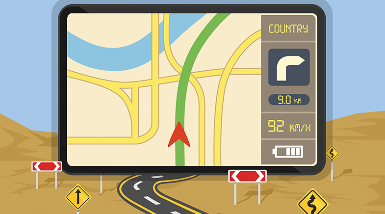
Technology that maps pollution levels may let drivers breathe easy.
A novel forecasting technology may enable GPS systems to guide drivers not just along the fastest route, but the one with the cleanest air. Researchers in Chennai and New York have jointly developed an urban pollution-mapping technology that can forecast pollution hotspots across a city and recommend the cleanest available travel routes to minimise exposure to harmful air.
Chemical engineer Sathish Swaminathan was pursuing a PhD at the Indian Institute of Technology Madras (IIT Madras) in 2019 when he began exploring mobile monitoring of Chennai's air quality. Swaminathan and his colleagues installed a sensor aboard a van that moved across the city for nearly 24 hours a day for a month. The sensor recorded concentrations of particles tinier than 2.5 microns (PM2.5), small enough to go deep into the lungs. The observations yielded predicted pollution hotspots, such as traffic junctions during peak travel hours. But they also noted some non-intuitive patterns; for instance, a daily hotspot at 3 a.m., which turned out to be the site of a milk factory loading trucks for early morning deliveries.
The researchers wanted to connect those PM2.5 patterns to the city's local conditions and understand how pollution changes over time. The conventional way to do this would be to feed in all initial conditions that influence air quality and solve hundreds of differential equations that describe air flow and its effects on PM2.5 concentrations. "This conventional approach is computationally very intensive," says Swaminathan, currently a postdoctoral research scientist in the lab of V. Faye McNeill, Professor of Chemical Engineering and Professor of Earth and Environmental Sciences at Columbia University, New York. "It would typically take an hour or two to generate a forecast, including the time taken to set up the initial conditions." So, Swaminathan and his collaborators in India and the U.S. developed an alternative method in which they replaced the differential equations with interconnected "agents" representing different parts of the city.
They divided a 15-sq-km area of Chennai into 22 such agents. Each agent behaves as an autonomous entity governed by mass-transfer rules. "Every agent can receive pollution, send out pollution, or generate pollution," says Raghunathan Rengaswamy, Professor of Data Science and AI at IIT Madras. The interconnections between the agents model how pollution moves between different parts of the city. The technology attempts to combine the strengths of two different approaches traditionally used in air-quality forecasting. Conventional physics-based simulations are robust because they incorporate atmospheric physics and chemistry, but they require enormous computational power. Data-driven approaches are computationally easier, but often behave like "black boxes" that identify statistical patterns without explaining the underlying physical processes.
"The proposed agent-based model leverages the best of both worlds," says Swaminathan. "It borrows the simplicity of data-driven methods and incorporates fundamental physics in the form of a mass balance." Because the framework abstracts only the most important physics governing pollution movement, the forecasting process takes just 3-5 minutes, compared with at least an hour often required for conventional simulations, potentially making near-real-time forecasting feasible.
The model allows different neighbourhood-scale agents to exchange pollution with one another based on real-world factors such as wind direction, traffic density, meteorology and land use. "Air pollution is spatio-temporal in nature and is affected by distance as well as time," Swaminathan says. "The agent-agent interactions consider spatio-temporal dynamics of pollution exchange and hence provide robust forecasting mechanisms."
The researchers say the work could eventually support route recommendations based on pollution exposure rather than travel time alone. Earlier work from the group (bit.ly/Route-Variation) had suggested that pollution exposure can vary significantly from one route to another connecting the same two destinations, and that it can also vary across different times of day. The new forecasting approach, Swaminathan says, provides "a systematic method to quantify that exposure" and identify routes with the least pollution burden. Such applications may be especially relevant in countries where large numbers of commuters travel on two-wheelers and remain directly exposed to outdoor air.


A deep-rooted movement
Ramachandra Guha's new book traces the origins of environmentalism in India, and profiles the pioneers in this field.

Drop by inky drop
Made-in-India bioinks may give 3D bioprinting research a leg up.

Dr Bot wields the scalpel
Robots are rewriting the rules of surgery, with a precision that humans may find hard to match. A glimpse of the revolution in the operation theatre.

Have a
story idea?
Tell us.
Do you have a recent research paper or an idea for a science/technology-themed article that you'd like to tell us about?
GET IN TOUCH