

No more la-la land
-
- from Shaastra :: vol 05 issue 08 :: Aug 2026
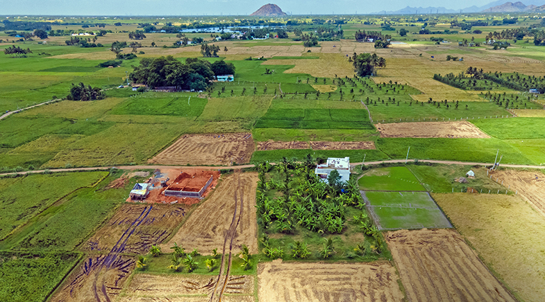
A new market in location intelligence opens up as records become more accessible.
U.S.-based cybersecurity architect Loganathan Krishnan was appalled when he saw people lining up to buy his 1-acre plot in Karnataka during a visit to India. Krishnan had bought the land in 2013, hoping to live there with his family after he moved back to India. Then he found that without his knowledge, the people appointed to take care of the land were carving out plots and selling them. "I could rarely visit the site in person, and I trusted them (the caretakers) blindly. But they transferred the land to their family name," he says. After a 12-year legal battle, Krishnan has now won back half an acre, while the other half is still in dispute.
His start-up NILAMorbit was born in 2025 out of this dispute. Looking for a way to better protect properties from afar, Krishnan combined satellite monitoring with computer vision, land intelligence, and on-ground verification to create the start-up. The company sends out land encroachment alerts to clients and deploys surveyors, fencers, or lawyers to resolve disputes. "There are so many others like me, who, in search of job opportunities, cannot stay close to their land. They become easy targets for the land mafia," he says.
In the long term, NILAM aims to collect land intelligence at the neighbourhood or locality level. "We want to provide insights such as flooding risks, encroachment trends, and regional land-related issues. For example, we might be able to point out which locality in a city has a higher risk of land disputes," says Manivanna Raja, Chief Product Officer at NILAM.
Companies such as NILAM have discovered a new market in spatial intelligence, at the intersection of fields such as real estate, marketing, climate intelligence, and Earth observation. Spatial intelligence companies including Terrastack, Landeed and AGT Intelligence use satellite and geospatial data, pair them with publicly available land records, population records, and climate data, and use artificial intelligence (AI) to address questions about land parcels — from loan underwriting and property valuation to encroachment and disaster risks.
Historically, satellite data have mainly been used by the defence sector. For use in the private sector, satellite data needed to become cheaper, more frequent, and higher-resolution. States have also begun digitising land records under the Digital India Land Records Modernization Programme. Parallel developments in AI have made it possible to read these regional-language records scattered across various offices and generate insights. Vision models, too, have become better at detecting structures and extracting information from satellite imagery. All these developments have come together to open up a new market in spatial intelligence.
PAST ISSUES - Free to Read


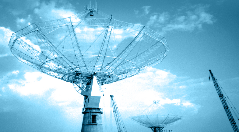








Physicists who made quite a mark
Other than mathematics, theoretical physics is the one area where Indians have made their presence felt on the world stage.
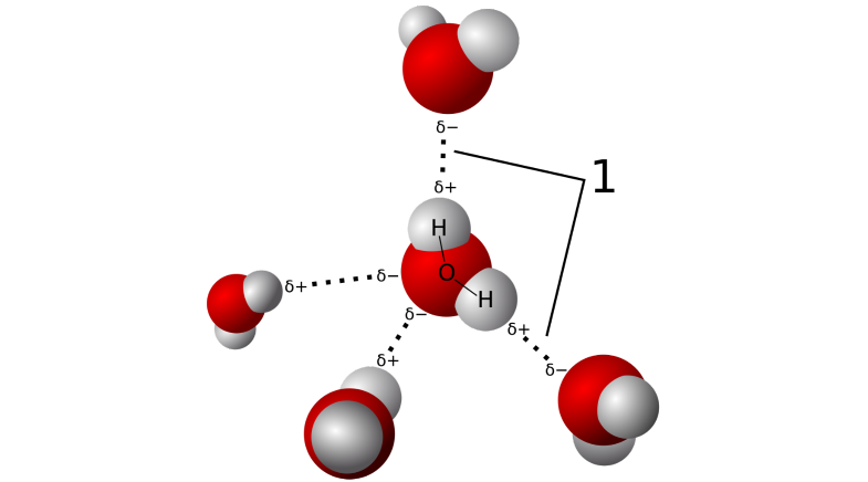
The wondrous world of water
New research in India and elsewhere is turning the lens on the many avatars and possible applications of ice and water.

Brain-inspired chips
Neuromorphic computing won't replace today's AI hardware overnight, but the pressure to find an alternative is growing.



Have a
story idea?
Tell us.
Do you have a recent research paper or an idea for a science/technology-themed article that you'd like to tell us about?
GET IN TOUCH